
Introduction Video
Introducing our technologies
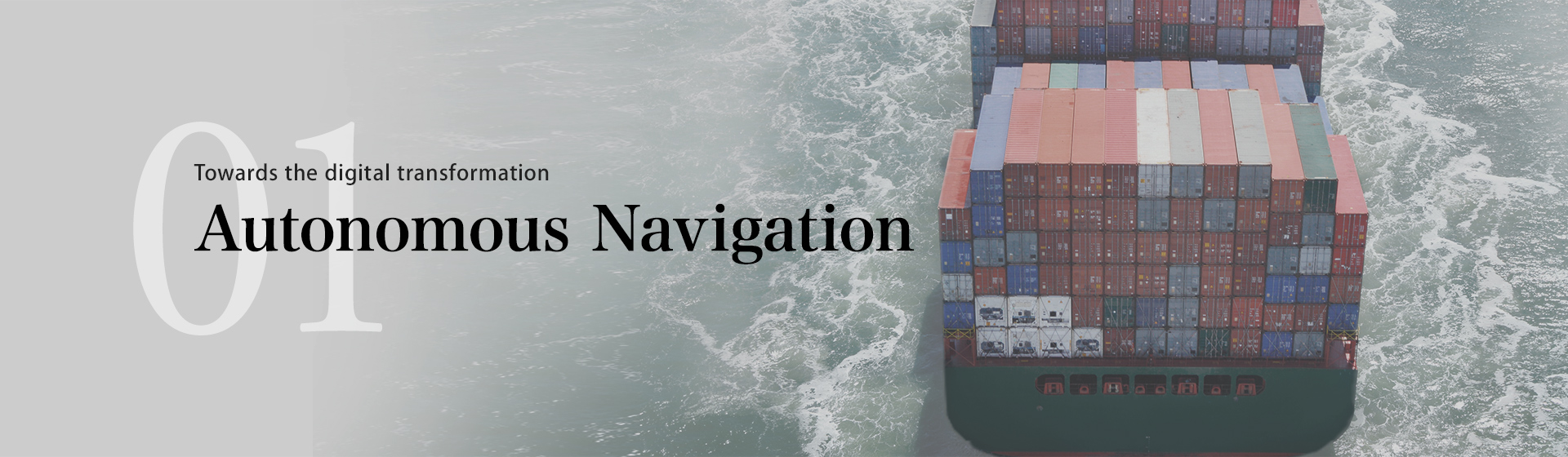
With a view to the future of shipboard digital transformation, we offer products and solutions with enhanced functionality.
Here are some of the products we have released so far and some examples of our research and development work.
Understanding the surroundings
AR Navigation System
The AR Navigation System is a navigation and maneuvering support system for ships that takes full advantage of Augmented Reality technology. The system uses AR technology to superimpose navigational information on images captured by a camera mounted in front of the vessel. Even in adverse weather conditions or at night, when it is difficult to see, the display shows the ship's route and information on other vessels, making navigation much peaceful, safe, and comfortable.
Certification
AR Navigation System has been certified as an "Innovation Endorsement for Products & Solutions" by ClassNK (Nippon Kaiji Kyokai) for its innovative technology.
VR Navigation System (as known as 3D Bird View System)
The VR Navigation System utilizes our unique virtual technology that provides the user with an overhead bird/third person view of their own vessel in 3D for maximum situational awareness around the vessel and safe navigation. This view mode overlays essential information such as chart information, Radar data, AIS and risk of collision areas. The height, angle, and zoom levels can be freely adjusted, allowing the user to check from all directions instantaneously to have full situational awareness in every direction at all times. It is a perfect support tool for safe route planning and collision avoidance, particularly in busy areas where dozens of vessels enter and leave ports at the same time.
Certification
The VR Navigation System (as known as 3D Bird View System) has been certified as an
"Innovation Endorsement for Products & Solutions"
by ClassNK (Nippon Kaiji Kyokai) for its innovative technology.
Camera Image Recognition System
Using artificial intelligence technology, we are developing onboard cameras capable of identifying ship types, navigation buoys, and other objects. The camera will not only be used to identify objects but will also be combined with the Radar and AIS technologies already on board to achieve unprecedented object detection reliability, thus contributing to greater safety at sea without the need for human presence.
Collision Avoidance Support
Risk Visualizer™
In extremely busy waters (such as ports entrances and exits), all vessels have to make a continuous effort to watch out for other vessels in the vicinity in order to avoid a collision. Furuno Risk Visualizer™ is an innovative technology that significantly reduces the risk of collision by alerting the user to potential collision areas with colored indications. This technology is based on an advanced algorithm that has studied and analyzed numerous data samples from real maneuvers and navigation data, provided by operators and navigators to obtain highly reliable predictions.
Maneuvering Support System
The Maneuvering Support System is a central element of the automatic navigation system Furuno is currently developing to realize fully autonomous ships: the APExS-auto (Action Planning and Execution System for full autonomy) concept*.
This unit integrates data from a multitude of different sensors to collect information accurately and identify objects around the vessel, detecting any potential risk of collision. Based on the information obtained, the Maneuvering Support System calculates the best route and readjusts the course to take to avoid a collision.
The route to be avoided is then automatically integrated into the current route plan, and the ship is redirected to follow the safest route via the DTC (Drive Train Controller: a group of functions that control the rudder, engines, thrusters, etc.).
Thanks to its comprehensive integration capability, the Maneuvering Support System paves the way for fully autonomous navigation.
- A framework to realize fully autonomous ships proposed by NYK, MTI and Nippon Kaiji Kagaku, which has received basic certification (AiP) from the Nippon Kaiji Kyokai and Bureau Veritas. The system will achieve autonomous navigation through AI that will take over navigation-related tasks, such as information gathering, analysis, planning and approval, which are currently performed by humans.
Berthing Assistance
Berthing Aid System
The Berthing Aid System automatically measures the accurate distance between ship and registered quay. In addition to the measurement results, conning information which are necessary for berthing/arriving maneuvers such as 3-axis ship speed (left/right (any two locations), front/back), ROT, wind direction/speed, tidal current, etc.
Providing such essential information reduces the burden on crews when maneuvering to and from the berth. Additionally, the ship's past, present, and future tracks are displayed on a bird's-eye view, and the measurement results are superimposed on camera images in AR, making it easier to understand the situation.
The system also has a safety function that predicts and displays the speed and deviation when reaching toward the quay, and it will provide a visual alert if the vessel exceeds a designated threshold above the speed limit and may collide with quay.
Certification
The Berthing Aid System has been certified as an
"Innovation Endorsement for Products & Solutions"
by ClassNK (Nippon Kaiji Kyokai) for its innovative technology.
Downloads
Support
Support for Legacy Products
Downloads
Furuno Marine Sensor SDK
Service Provision Scheme
Quality Assurance
Locate a Distributor
Contact
Support for Legacy Products
Downloads
Furuno Marine Sensor SDK
Quality Assurance
Locate a Distributor
Contact
Support for Legacy Products
Downloads
Furuno Marine Sensor SDK
Warranty Policy
Quality Assurance
Locate a Distributor
Contact
Support for Legacy Products
Downloads
Furuno Marine Sensor SDK
Quality Assurance
Locate a Distributor
Contact
Support for Legacy Products
Downloads
Furuno Marine Sensor SDK
Quality Assurance
Locate a Distributor
Navigation
Communication
Other Marine Equipment
Monitoring Solution
Maritime Training