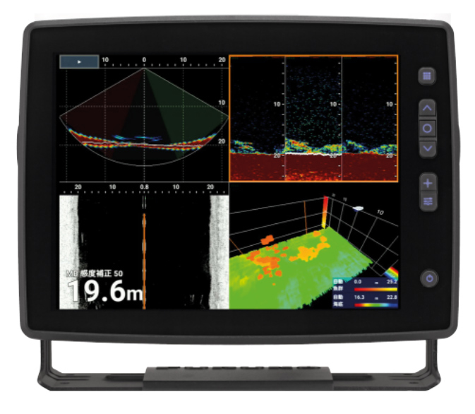
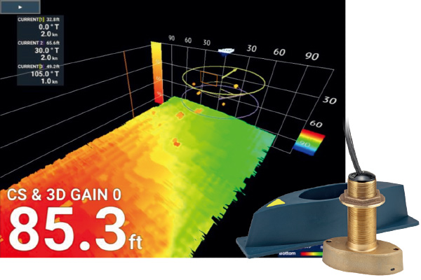
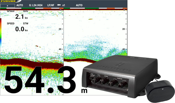
Quickly create your own PBG (Personal Bathymetric Generator) Shaded Relief Maps using SFD and the DFF-3D or Fish Finders. Bottom images are drawn with shaded relief, depth contours, and variable colors, making it easy to identify hidden structure and ridges that hold fish in a simple,easy-to-interpret presentation.
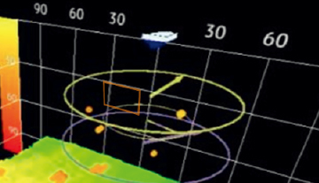
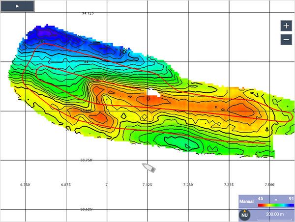 PBG created with Multibeam Sonar
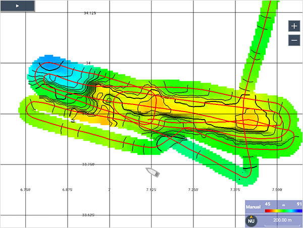 PBG created with Fish Finder (Single beam)
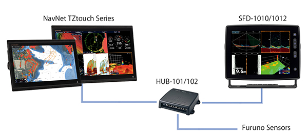
PBG compatible Furuno’s Fish Finder
| |
Model |
Interface |
| FCV Series |
FCV-38, FCV-2100, FCV-1900/B/G, FCV-295/1150, FCV-585/620, FCV-588/627, FCV-688 |
NMEA0183 |
| FCV-600/800 |
NMEA0183/2000 |
| Chart plotter with F/F |
GP-3700F, GP-1871F/1971F |
NMEA0183/2000 |
| DFF Series |
DFF3-UHD, DFF3 |
Ethernet |
| NavNet TZtouch Series |
TZtouchXL, TZtouch3, TZT2BB |
Ethernet |
* The above diagram shows almost the same area mapped with each beam. The red line is your ship's wake. A single beam only provides information directly below your ship, whereas a multibeam detects a 120° width to the left and right, making multibeam more efficient at creating seabed maps.
When using the seabed mapping function with a single beam, it is not possible to display fish finder echoes.
* Recommend connecting a satellite compass as it reduces the effects of wave swaying.
* Chart overlay is not possible.
