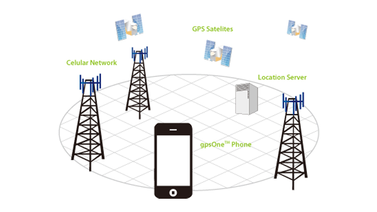
AGNSS (Assisted GNSS)
- Automotive/Industrial
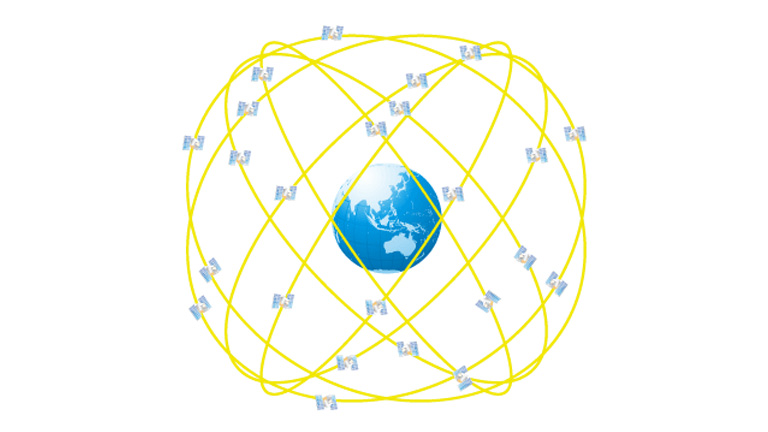
The GPS/GNSS receiver must receive a signal from a GPS satellite to acquire the exact position information of that satellite and calculate its own position accordingly (for information on the GPS, please refer to [What is GPS?]).
The orbital and navigational data of the GPS satellite is contained within this signal. This data is broken into 30 second blocks, the first 18 seconds of which contain the data needed for accurate satellite positioning, known as ephemeris data.
A GPS/GNSS receiver reads the signal transmitted by the GPS satellite and decodes the navigational information within the signal, and by accurately pinpointing the satellite's position is then able to calculate its own position based on that of the satellite. To that end, a GPS/GNSS receiver with no navigational information cannot calculate its position until it has the proper ephemeris data.
The signal level to decode the navigational information in the received signal must be greater than the receivable signal level from the GPS satellite. The signal level is generally -145 dBm. A signal level that is higher than -145 dBm must be received continuously for at least 18 seconds in order for the GPS/GNSS receiver to obtain the ephemeris data.
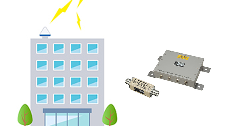
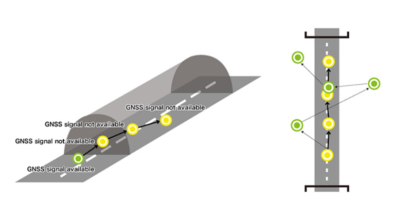
This signal level is adequate for using the GPS/GNSS receiver in an open air environment, but in an obstructed environment, a signal level of only -145 dBm or less may be receivable. When inside a building, for example, only a signal below-145 dBm may be receivable, and even a signal over -145 dBm may not be continuously receivable in an urban environment with many tall buildings. In this case, even when the signal from the satellite can be received, the ephemeris cannot be decoded and the GPS/GNSS receiver position cannot be attained.
The most recently received ephemeris data from the current target satellite has an expiration period of 4 hours, after which the ephemeris data cannot be used and the satellite position will be lost. All ephemeris data received by the GPS/GNSS receiver will soon become unusable, so the ephemeris data must be updated in fixed periods of every 2-4 hours.
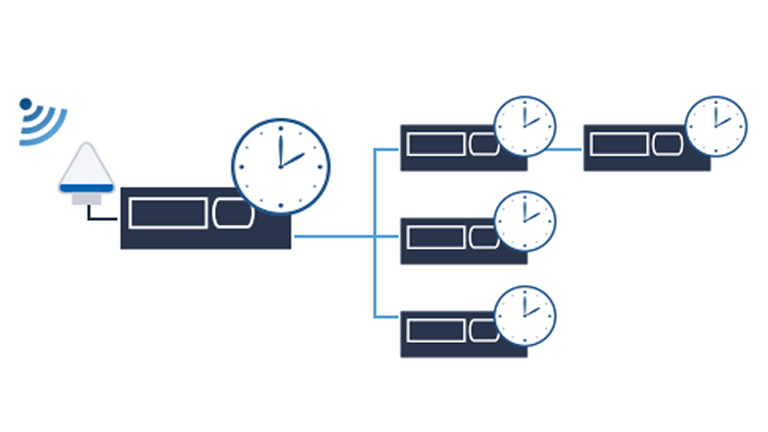
When using a GPS/GNSS receiver in a situation such as in a building, where only a weak signal can be received, it may be necessary to periodically receive the orbital information of the target satellite from a source other than the GPS satellite itself. This data is called assisted GNSS data, and the GPS/GNSS receiver that uses the assisted GNSS data to aid in the calculation of its position is called an Assisted GPS/GNSS receiver. Assisted GNSS data can be provided to the GPS/GNSS receiver from any network- or internet-connected assist server.
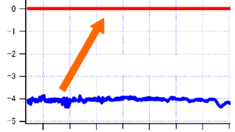
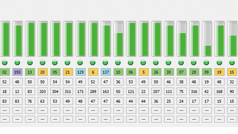
- Continuous position tracking with high sensitivity signal level (-161 dBm).
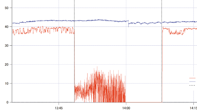
- Positioning within a few seconds of operating the GPS and receiving the assist data.
- Reduction of power consumption by reducing the time it takes to receive navigational data from the GPS satellite and calculate the current position.
All FURUNO GPS/GNSS receiver chips and modules using eRideOPUS technology can use assisted GPS/GNSS data. These data are provided by FURUNO GNSS Assist Server.
- Max. 7 day Satellite orbital data
Use updated orbital positioning data for a longer expiration period than usual. - Accurate time log data
Positioning is possible even without using the real time clock of the GPS/GNSS receiver. - Ionosphere data
Use the Ionosphere data for more accurate positioning. - Approximates worldwide altitudes
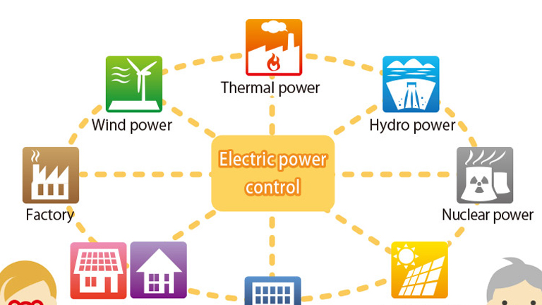
List of Technologies