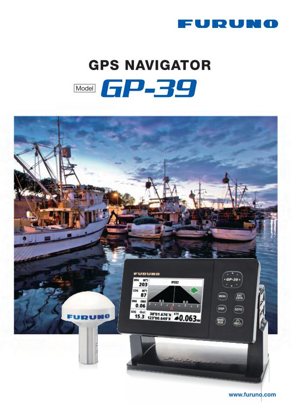
- GPS/Chart Plotter
Model GP-39
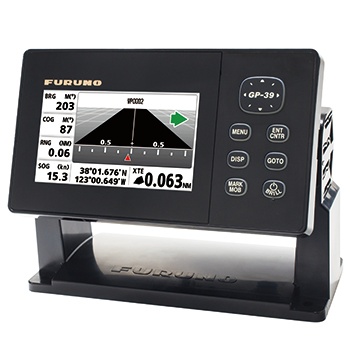
The FURUNO GPS navigator GP-39 provides accurate and reliable position fixing, thanks to a 12-channel GPS receiver combined with integrated SBAS (WAAS/EGNOS/MSAS) technology.
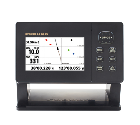
The GP-39 has various display modes (Plotter, Highway, Steering, NAV data, Satellite monitor and 2 user customizable modes) on the 4.2" color LCD. Up to 3,000 points of ship track, 10,000 waypoints and 100 routes (each with up to 30 waypoints) can be stored. The waypoint and route data can be exported/imported via a USB flash drive or signal converter.
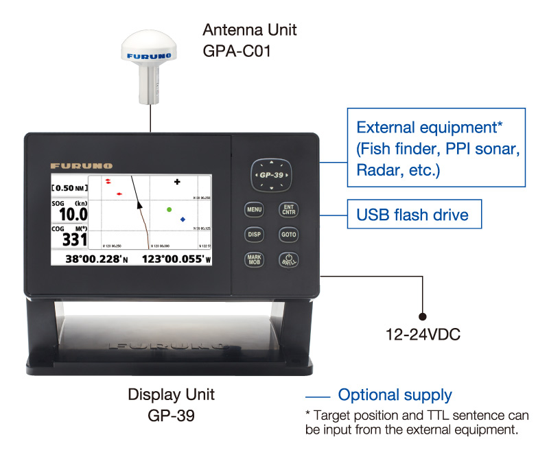
The GP-39 can be networked with a fish finder, sonar, radar or other navigation equipment for feeding highly accurate navigation data.
- Fishing Vessels、Workboats、Recreational Boats
Features
Newly designed GPS core delivers enhanced position fixing accuracy
4.2" high-resolution color LCD
Storage for 3,000 track points, 10,000 waypoints and 100 routes
SBAS capable for better positioning calculations
Share and display position information on networked equipment such as a fish finder, sonar, radar, etc.
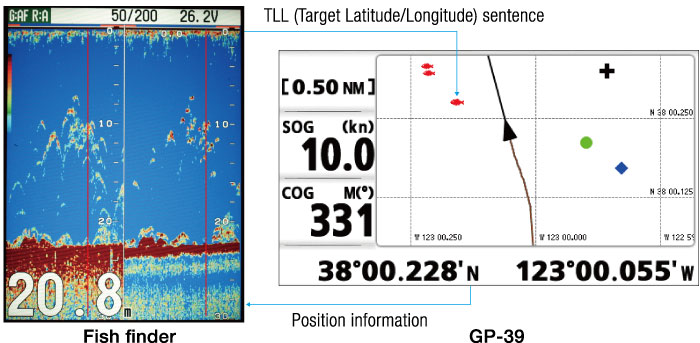
The GP-39 delivers the position information to an interfaced fish finder or sonar. Also, the GP-39 receives the TLL (Target Latitude/Longitude) sentence from networked fish finders or sonars and can display the received information. This allows you to mark fish school locations easily.
7 display modes available, including 2 user-customizable modes
Waypoint and route data can be exported/imported via a USB flash drive or signal converter
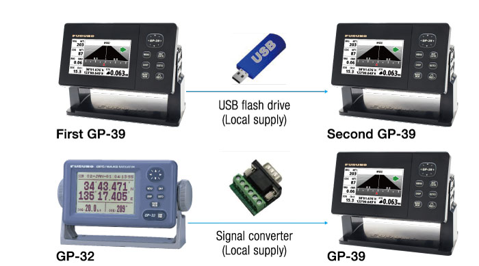
Waypoint, route data and setting information can be exported/imported via a USB flash drive between GP-39 units. The waypoint and route data in GP-32 can be transferred to GP-39 by means of signal converter. You can backup information, or share useful information between vessels.
Multi-language ready : English, French, Spanish, Chinese, Vietnamese, Malay, Indonesian and Thai
Easy to mount on/off the bracket
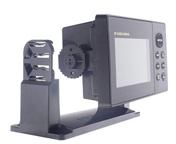
The improved hanger allows the display unit to be mounted or un-mounted easily. The display unit can be carried in the bag (standard supply).
Screenshots
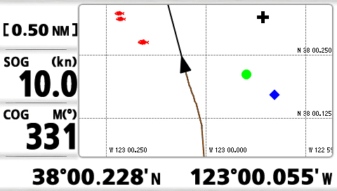
Plotter
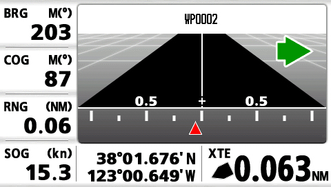
Highway
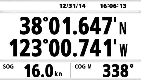
NAV data
Steering

Satellite Monitor

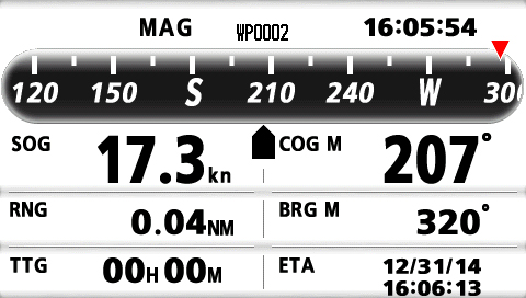
COG (selectable as a user display)
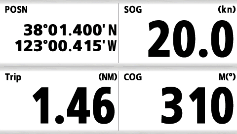
Digital (selectable as a user display)
Specifications
Display Unit
4.2" Color LCD
480 (V) x 272 (H) pixels
External
Plotter, Highway, Steering, NAV Data, Satellite monitor, User Display (Digital, Speedometer, COG)
English, French, Spanish, Chinese, Vietnamese, Malay, Indonesian, Thai
GPS / SBAS (WAAS/EGNOS/MSAS)
L1 (1575.42 MHz ± 1.023 MHz)
GPS: 12 channels parallel, 12 satellites tracking, C/A code, all-in-view
SBAS: 2 channels
GPS: 10 m (95% of the time, HDOP≤4)
WAAS: 3 m (95% of the time, HDOP≤4)
MSAS: 7 m (95% of the time, HDOP≤4)
Plotter
3,000 ship's track points
10,000 waypoints with comments
100 routes with 30 waypoints/route
Others
Display unit: IP55
Antenna unit: IP56
12-24 VDC : 0.7-0.3 A
0.57 kg 1.26 lb (Bracket type)
Equipment List
Standard
Option
Interconnection Diagram
Downloads

| Name | Last update |
|---|---|
| Mar 3, 2025 | |
| Sep 6, 2016 |
Distributors of Marine Equipment
Contact a local distributor for further details.
- Specifications subject to change without notice.
GPS/Chart Plotter Product List
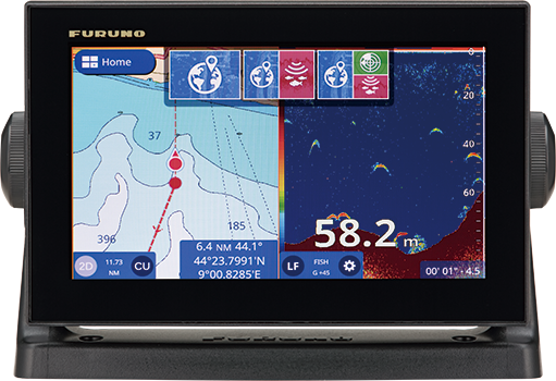
Model
GP-1971F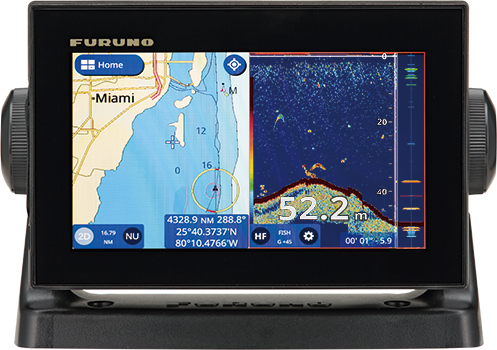
Model
GP-1871F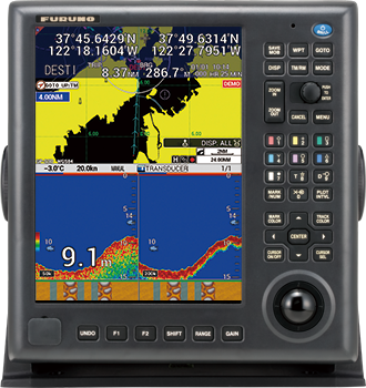
Model
GP-3700F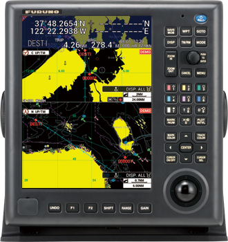
Model
GP-3700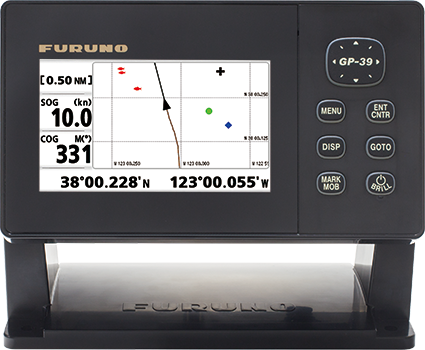
Model
GP-39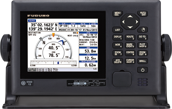
Model
GP-170
Model
GP340