

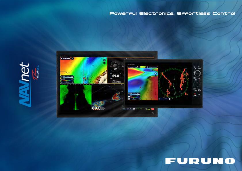
NavNet TZtouchXL Promotion Video
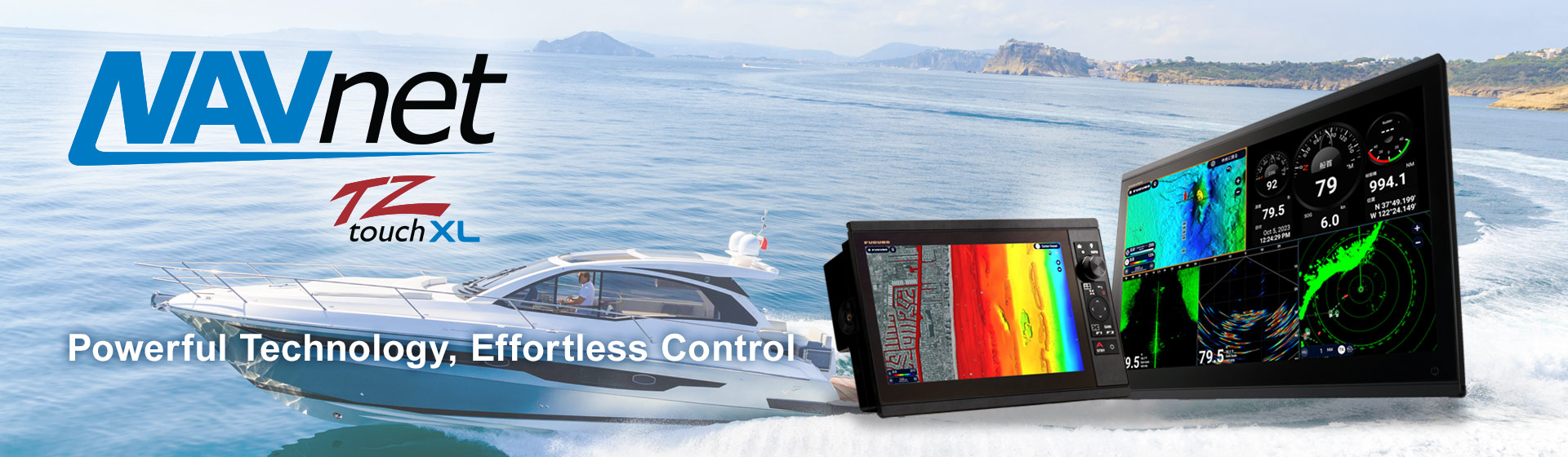
Features
Six Models of Multi Function Displays to Choose From
Hybrid Touch MFDs
The hybrid control 10” TZT10X and 13” TZT13X incorporate all of NavNet TZtouchXL's multi touch capabilities with Furuno’s RotoKey™ control knob and dedicated buttons, making navigation intuitive and easy under any sea conditions.
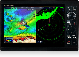
Model TZT10X
10.1" Wide Hybrid-Control MFD
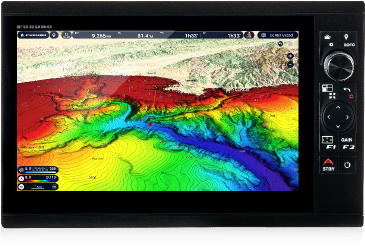
Model TZT13X
13.3" Wide Hybrid-Control MFD
Multi Touch MFDs
The 16” TZT16X, 22” TZT22X, and 24” TZT24X feature super-wide all-glass displays with exceptional clarity and brightness. The all-glass design allows these powerful MFDs to be mounted side-by-side for a seamless and stylish all-glass appearance to enhance both the functionality and sophistication of the helm. Or, go with the powerful TZTBBX Black Box TZtouchXL MFD, and choose your own Multi Touch Display!
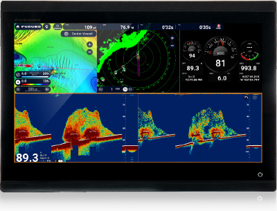
Model TZT16X
15.5" Wide Multi Touch MFD
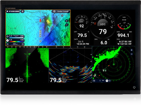
Model TZT22X
21.5" Wide Multi Touch MFD
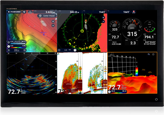
Model TZT24X
24" Wide Multi Touch MFD
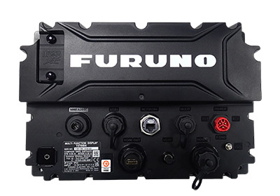
Model TZTBBX
Black Box MFD
An All-New Chart Engine Providing Game-Changing Safety Technology
- Affordable, highly-detailed charts purchased directly from MFD
- 1-year subscription with free updates
- Community Edit & POI
- High-resolution satellite photos
- 8 types of chart presentations
- Use your TZ MAPS across multiple MFDs, TimeZero software, or TZ iBoat app
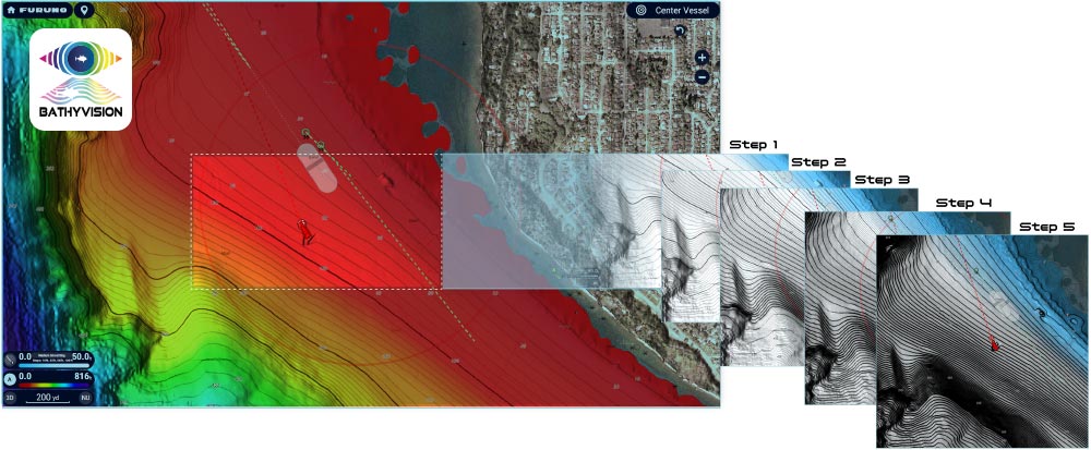
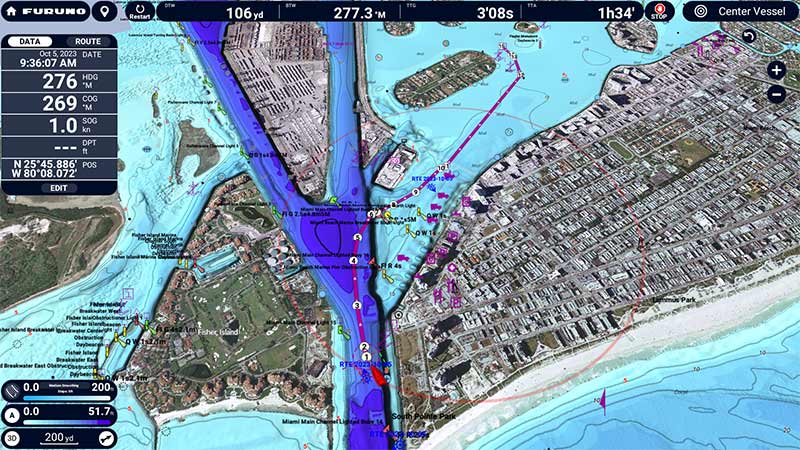
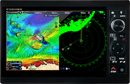
The TZ BathyVision feature allows users to customize seabed relief colors and contour line density displayed on the chart.
AI Routing for seamless and optimized navigation
Furuno’s AI Routing utilizes TZ MAPS to give you a recommended point-to-point route to follow. It intelligently plans a path that takes you through channels, marina entrances, inlets, and more using your set boat draft, chart data, and other safety parameters.
Once an AI Route is generated, you can easily edit and add new points as desired.
- This feature is intended to provide reference information for voyage planning and navigational decision-making and does not guarantee safe navigation. Routes proposed by this feature may not take into account navigational restrictions (such as traffic direction or speed limits) and may not consider temporary or permanent underwater structures, above-water structures, floating objects, or other hazards.During actual navigation, the operator must continuously maintain a proper lookout and operate the vessel in accordance with the Maritime Traffic Safety Act, the International Regulations for Preventing Collisions at Sea (COLREGs), and all other applicable laws, regulations, and navigational rules.
- The terms "AI Routing" and "AI Collision Avoidance Route" are used in the broad sense of AI, meaning that the system automates certain tasks and decisions that have traditionally been performed by humans. These features do not incorporate machine learning based on operator behavior, nor do they adapt route generation based on past operator actions.
- Furthermore, the chart data and other information used by this feature are not warranted to be complete, accurate, up to date, or suitable for any particular purpose. The final responsibility for navigational decisions and vessel operation rests solely with the operator.
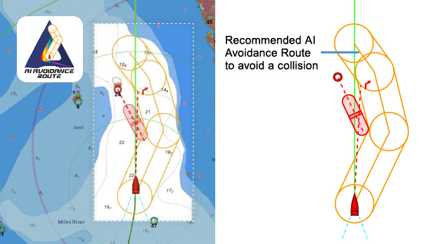
Risk Visualizer and AI Collision Avoidance Routing for enhanced navigational safety
Risk Visualizer™ is a unique feature that shows potential collision areas based on the current position and movement of all surrounding vessels, providing a quick and intuitive overview of the situation around your boat.
When Risk Visualizer™ warns you of a potential collision, the new AI Avoidance Route™ calculates and plans your next move. It intelligently draws a suggested collision avoidance route that you can steer to avoid the collision, keeping you and your vessel safe.
- This function provides reference information to support safe navigation; however, it does not provide information that considers all possible hazards. During actual navigation, the operator is responsible for maintaining a proper lookout and monitoring the surrounding environment.
Built in CHIRP Side-Scan
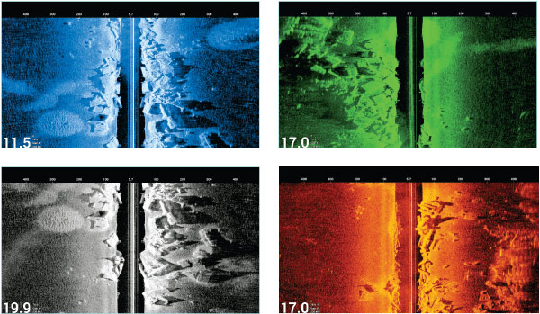
Furuno’s CHIRP Side-Scan for NavNet TZtouchXL scans both port and starboard, illuminating the shape of bottom structure in high definition. CHIRP Side-Scan reveals the shape of fish targets and fish-hoarding structure to each side of your vessel. CHIRP from 230kHz or 445kHz center frequencies with thru-hull, paired, or transom mount transducer options.
There are 8 color options to choose from, including the new, high-contrast Tuna Hunter, Aquamarine, Fury, and Volcano.
CHIRP Side-Scan is built into the TZT10X/13X/16X, and can be accessed by any TZtouchXL MFD on the network.
Specifications
Model: TZT10X | Model: TZT13X | Model: TZT16X | Model: TZT22X | Model: TZT24X | Model: TZTBBX | |
Display Unit | ||||||
Type | Color TFT multi touch IPS LCD | Owner Supplied Screen Resolution:1024 x 768, 1280 x 1024, 1920 x 1080 | ||||
|---|---|---|---|---|---|---|
Screen Size | 10.1" Wide | 13.3" Wide | 15.6" Wide | 21.5" Wide | 24" Wide | |
Screen Resolution | 1920 x 1200 (WUXGA) | 1920 x 1080 (FHD) | ||||
Screen Brightness | 900 cd/m2 (typ.) | |||||
Mass | With hanger: 3.9 kg, 8.6 lb (Without hanger: 2.9 kg, 6.4 lb) | With hanger: 5.4 kg, 11.9 lb (Without hanger: 4.1 kg, 9.0 lb) | With hanger: 5.9 kg, 13.6 lb (Without hanger: 4.4 kg, 9.7 lb) | 5.7 kg, 12.6 lg (Flush Mount only) | 8.1 kg, 17.6 lg (Flush Mount only) | 1.3 kg, 2.9 lb (Black Box Unit) |
Interface | ||||||
NMEA 2000 | 1 Port | |||||
NMEA 0183 | 1 Serial Output Port | |||||
LAN | 1 Port (1000 BASE-T) | |||||
USB | 1 Port (USB 3.0) | 2 Ports (USB 3.0/2.0) | ||||
Video I/O | Input: 1 port (NTSC/PAL) | Input: 1 port (NTSC/PAL) and 1 port HDMI 1920 x 1080p or less (progressive only) Output: 1 port (HDMI 1080p) | ||||
SD Card Slot | 1 Slot (Micro SDXC) | |||||
Wireless LAN | IEEE802.11b/g/n, Transmit frequency: 2.412 to 2,462 GHz, 11dBm max | |||||
Transducer Connection | 1 Port 12 pin for CHIRP/CW, 1 Port 12 pin for Side-Scan | — | — | — | ||
POWER | ||||||
Current Consumption | DC12-24V : 3.8-1.9A | DC12-24V : 3.9-1.9A | DC12-24V : 4.0-2.0A | DC12-24V : 5.1-2.5A | DC12-24V : 6.7-3.2A | DC12-24V : 2.1-1.1A |
ENVIRONMENT | ||||||
Temperature | -15℃ to +55℃ | |||||
Relative Humidity | 93% or less at +40° C | |||||
Waterproofing | IP56 | IP55 | ||||
Key Features | ||||||
ACCU-FISH™ | Available | Available | Available | — | — | — |
TruEcho CHIRP™ | Available | Available | Available | — | — | — |
Bottom Discrimination | Available | Available | Available | — | — | — |
RezBoost™ (RADAR)*1 | Available | Available | Available | Available | Available | Available |
Risk Visualizer™ | Available | Available | Available | Available | Available | Available |
TZ BathyVision*2 | Available | Available | Available | Available | Available | Available |
AI Routing*2 | Available | Available | Available | Available | Available | Available |
AI Avoidance Route™ *1*2 | Available | Available | Available | Available | Available | Available |
Multi Touch | Available | Available | Available | Available | Available | Available |
- Requires DRS-NXT Radar Sensor with latest software update
- TZ MAPS chart license required. Valid for one year and renewable annually. Cancel via the dedicated online form.
NavNet TZtouchXL Network / Product Lineup
The NavNet TZtouchXL series supports three types of interfaces: Ethernet, NMEA 2000/CAN bus, and NMEA 0183.
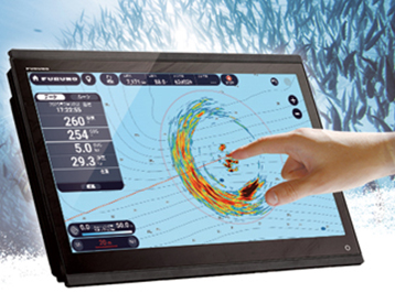
CSH-10 360° Scanning Sonar
Model CSH-10
Furuno’s CSH10 360° Scanning Sonar is now fully compatible with NavNet TZtouchXL, allowing seamless integration and total control. Once connected, the CSH10 is recognized as a native sensor, automatically unlocking a dedicated Sonar display on the MFD. Easily control CSH10 settings, adjust key parameters like tilt and gain, monitor system status, and create event marks to track important underwater targets.
With Furuno's unique Sonar Overlay, you can display real-time Sonar echoes directly on your chart, allowing you to see fish targets in relation to charted objects, structure, and underwater topography. Understanding where fish are located relative to wrecks, reefs, drop-offs, and other key underwater features enhances situational awareness and helps you make more informed decisions when fishing or navigating complex environments.
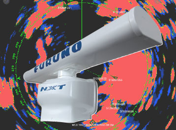
THE BENCHMARK FOR RADAR
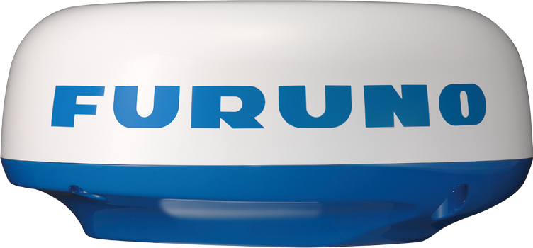
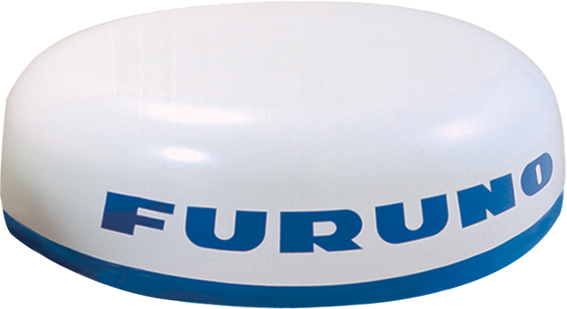
Model DRS2D/4D/6A/12A/25A-NXT
Furuno NXT Solid-State Doppler Radars pack power like never before. From the DRS2D-NXT dome to the 200 Watt DRS25A-NXT open array, you will get dynamic features like Target Analyzer™, Fast Target Tracking™, Bird Mode, and Rain Mode.
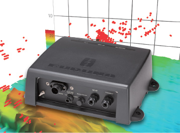
DEEP WATER MULTI BEAM SONAR
Model DFF-3D
Imagine real-time 120° port-starboard up to 200m (over 650ft.) depth and viewing of the water column and seabed directly under the boat 300m (nearly 1,000 ft). The DFF-3D allows you to explore fishing spots and find fish in deep water faster than conventional single beam Fish Finders.
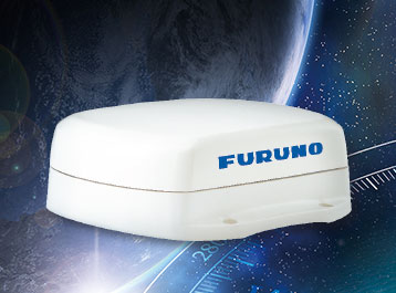
Amazing Multi-GNSS Satellite Compass™
Model SCX-20
With its innovative quad-antenna design, the SCX-20 delivers exceptionally accurate heading, pitch, roll, and heave data. It enhances the performance of onboard equipment such as radar, fish finders, sonar systems, and autopilots, providing reliable sensor information for improved vessel operation and navigation.
Key Networking Products
FISH FINDER
SONAR
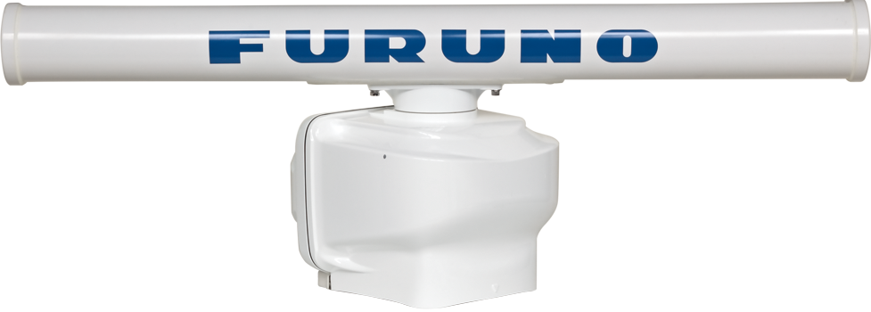
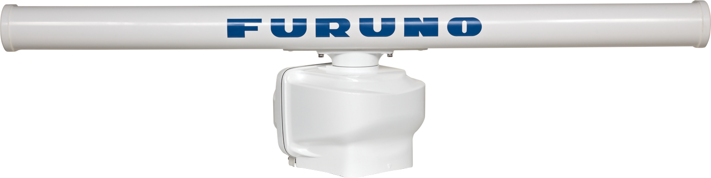
RADAR
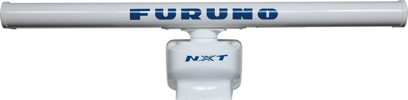
SOLID STATE DOPPLER RADAR
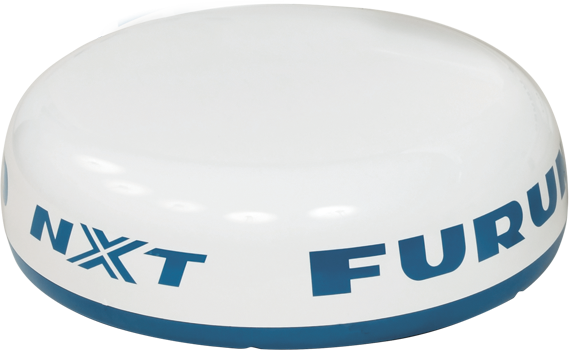
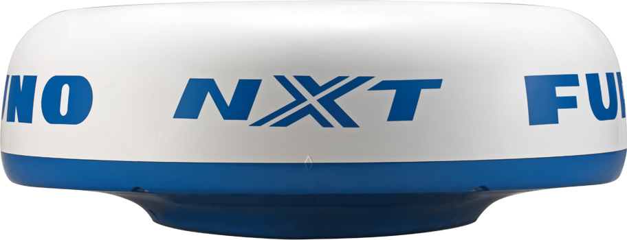
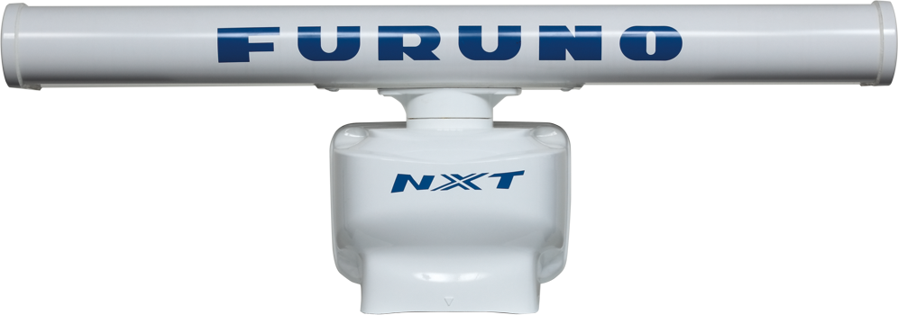
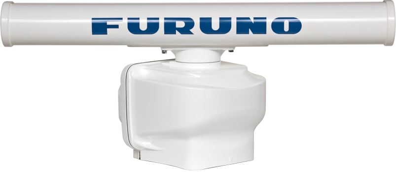
RADAR SENSOR (Magnetron)
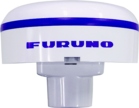
GPS
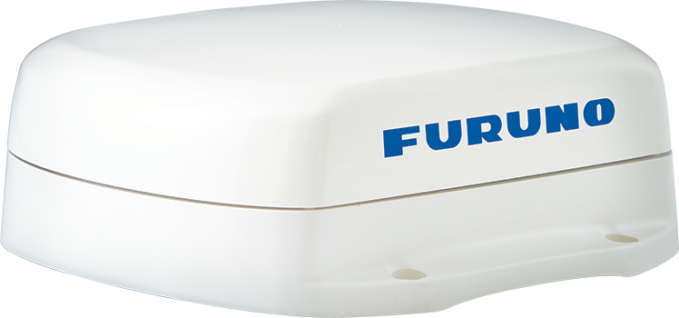
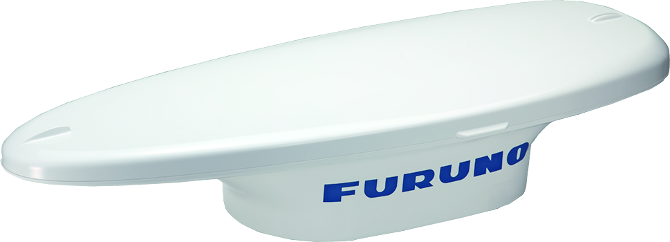
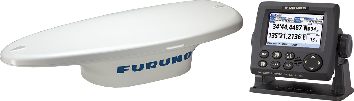
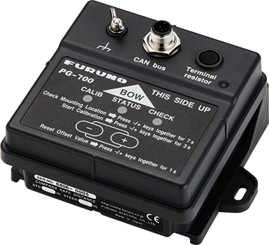
Satellite Compass™ / Heading Sensor
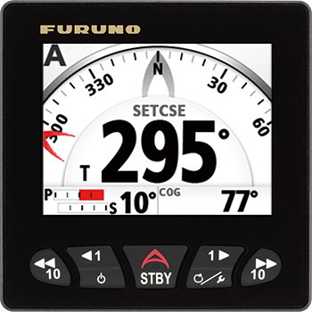
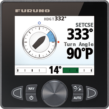
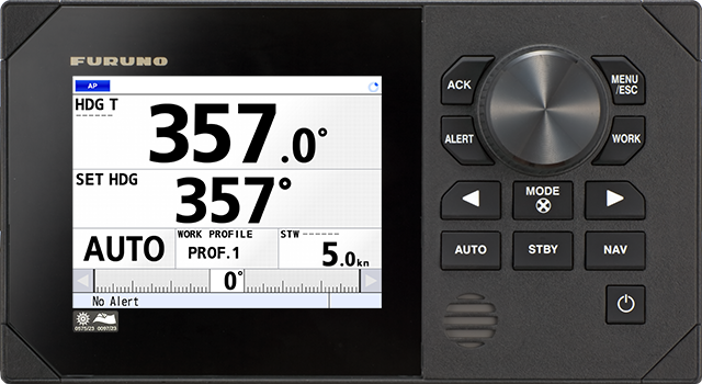
AUTOPILOT
WEATHER
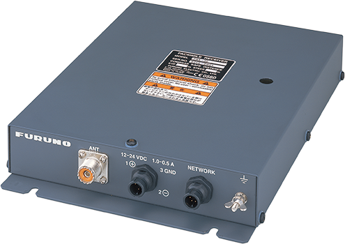
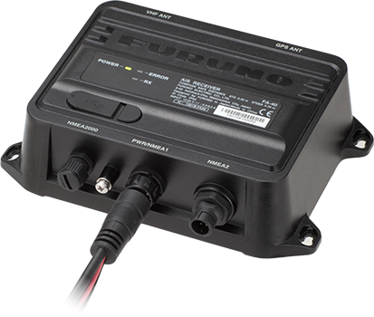
AIS
INSTRUMENT
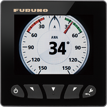
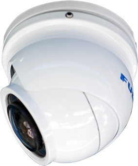
OTHERS
Downloads
| Name | Last update |
|---|---|
| Aug 20, 2026 | |
| Aug 20, 2026 | |
| Oct 24, 2024 | |
| Oct 24, 2024 | |
| Oct 24, 2024 | |
| Oct 24, 2024 | |
| Oct 24, 2024 | |
| Oct 24, 2024 | |
| Oct 24, 2024 | |
| Oct 24, 2024 | |
| Oct 24, 2024 | |
| Oct 24, 2024 | |
| Oct 24, 2024 | |
| Oct 24, 2024 | |
| Oct 24, 2024 | |
| Oct 24, 2024 | |
| Mar 6, 2025 | |
| Mar 24, 2026 |
| Name | Remarks |
|---|---|
|
|
Distributors of Marine Equipment
Contact a local distributor for further details.
- Specifications subject to change without notice.
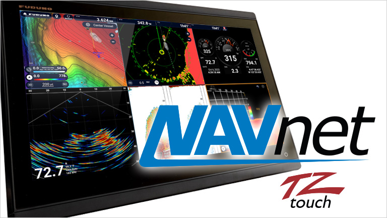
Multi Function Display Product List
NavNet TZtouchXL
Model
TZT10X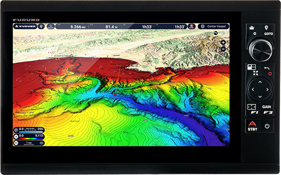
NavNet TZtouchXL
Model
TZT13X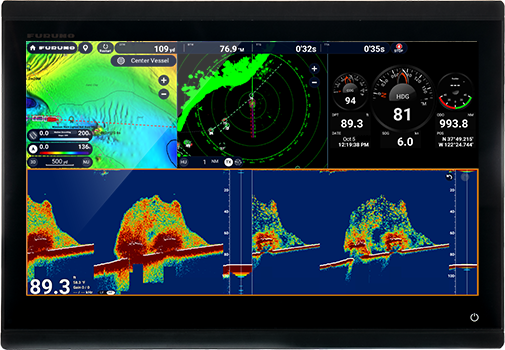
NavNet TZtouchXL
Model
TZT16X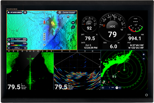
NavNet TZtouchXL
Model
TZT22X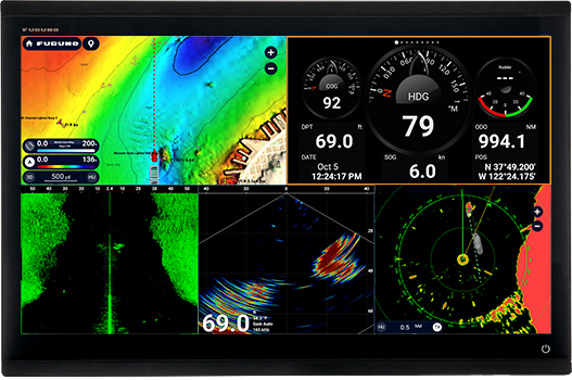
NavNet TZtouchXL
Model
TZT24X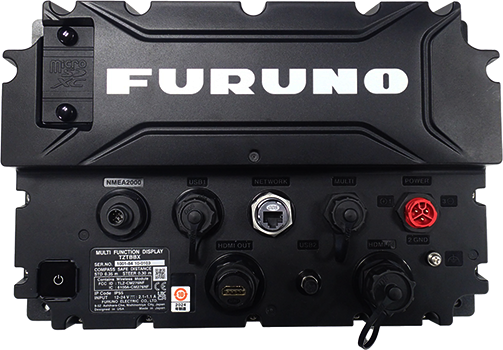
NavNet TZtouchXL
Model
TZTBBX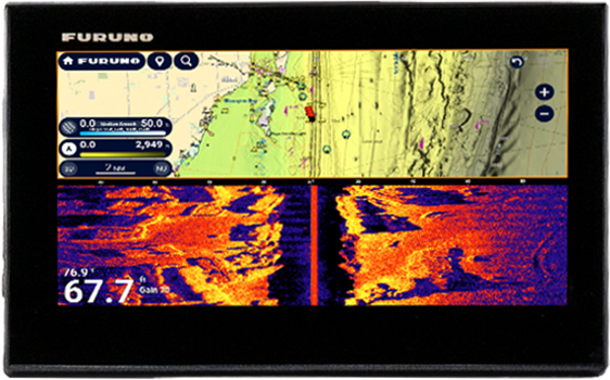
NavNet TZtouchE
Model
TZT9E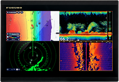
NavNet TZtouchE
Model
TZT13E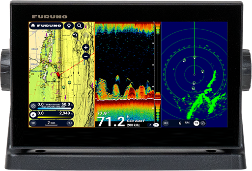
TZMAP
Model
TZMAP9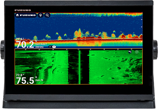
TZMAP
Model
TZMAP13There are no products that meet the conditions.
Support
Support for Legacy Products
Downloads
Furuno Marine Sensor SDK
Service Provision Scheme
Quality Assurance
Locate a Distributor
Contact
Support for Legacy Products
Downloads
Furuno Marine Sensor SDK
Quality Assurance
Locate a Distributor
Contact
Support for Legacy Products
Downloads
Furuno Marine Sensor SDK
Warranty Policy
Quality Assurance
Locate a Distributor
Contact
Support for Legacy Products
Downloads
Furuno Marine Sensor SDK
Quality Assurance
Locate a Distributor
Contact
Support for Legacy Products
Downloads
Furuno Marine Sensor SDK
Quality Assurance
Locate a Distributor
Navigation
Communication
Other Marine Equipment
Marine Solution
Monitoring Solution
Maritime Training